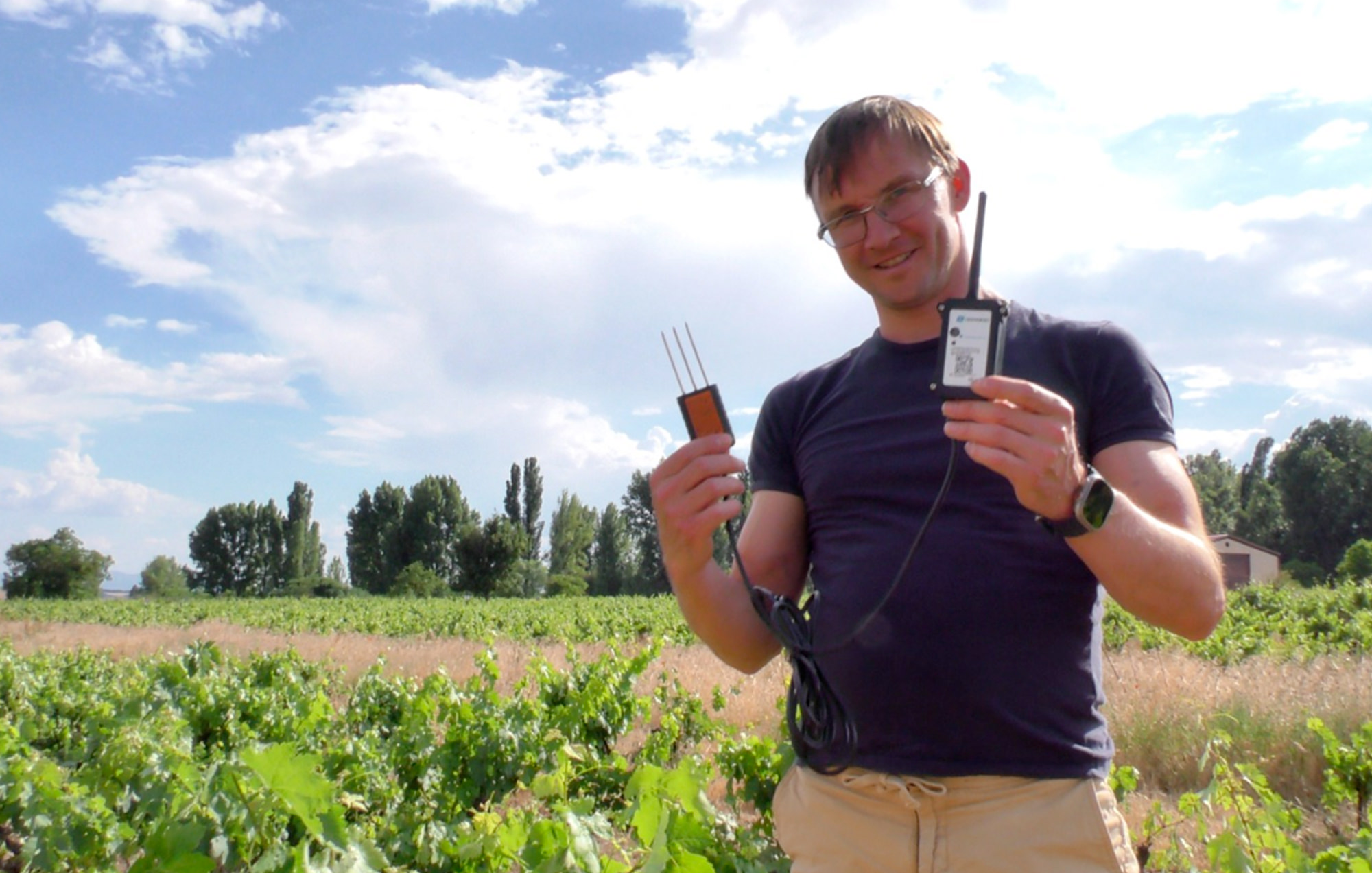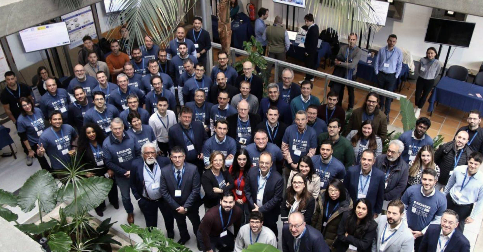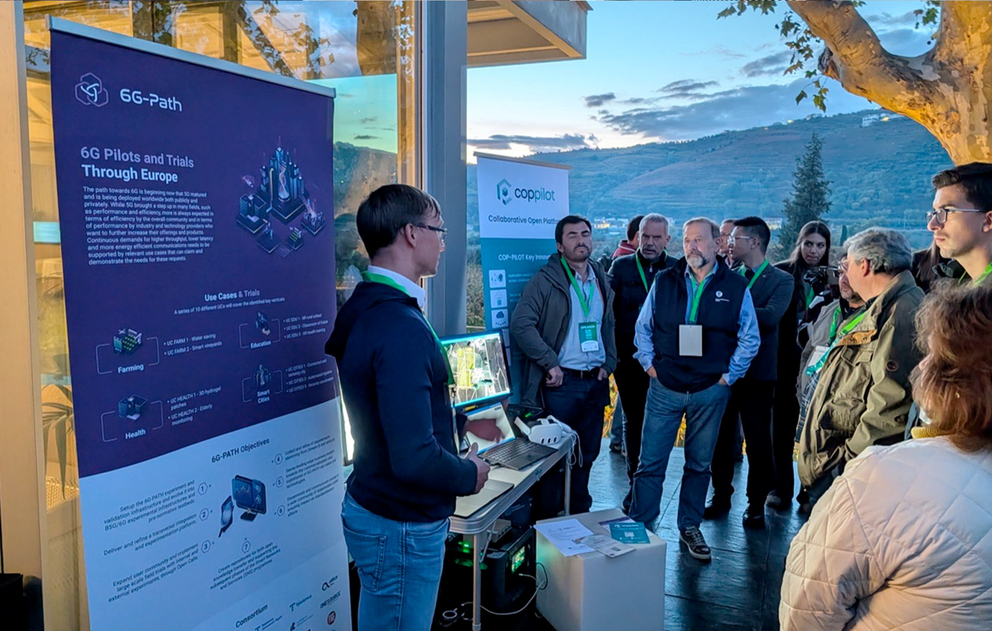
On November 18th, 2025, the COP-PILOT project achieved a significant milestone by co-organizing its very first smart-farming pilot demonstration. Hosted alongside the 6G-PATH project at the Quinta da Pacheca vineyard in Portugal during the Euro Tech Day forum, the trial welcomed approximately 100 European industry experts, regulators, and researchers eager to see the future of digital viticulture.
The main objective of this pilot (Cluster 4 – Pilot 1 – UC4.2) was to demonstrate COP-PILOT’s capacity for federated data orchestration, edge processing, and advanced cloud-based water efficiency analytics.
Seamless Integration: From Edge to Cloud
The demonstration highlighted a converged architecture running on real-time field data streams:
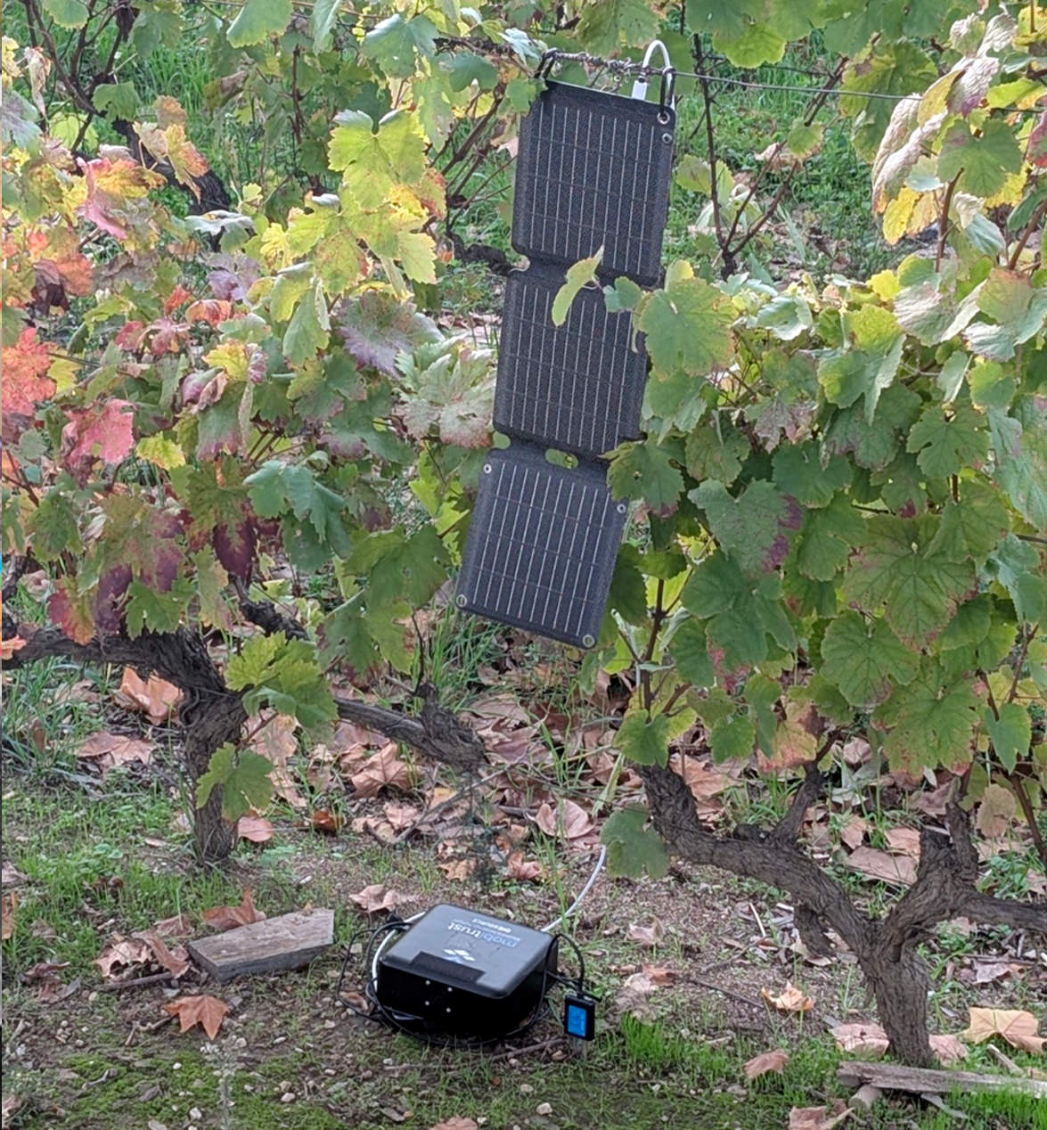
- On-Site Edge Processing: Real-time data from in-field soil sensors was pre-processed immediately using on-site edge devices.
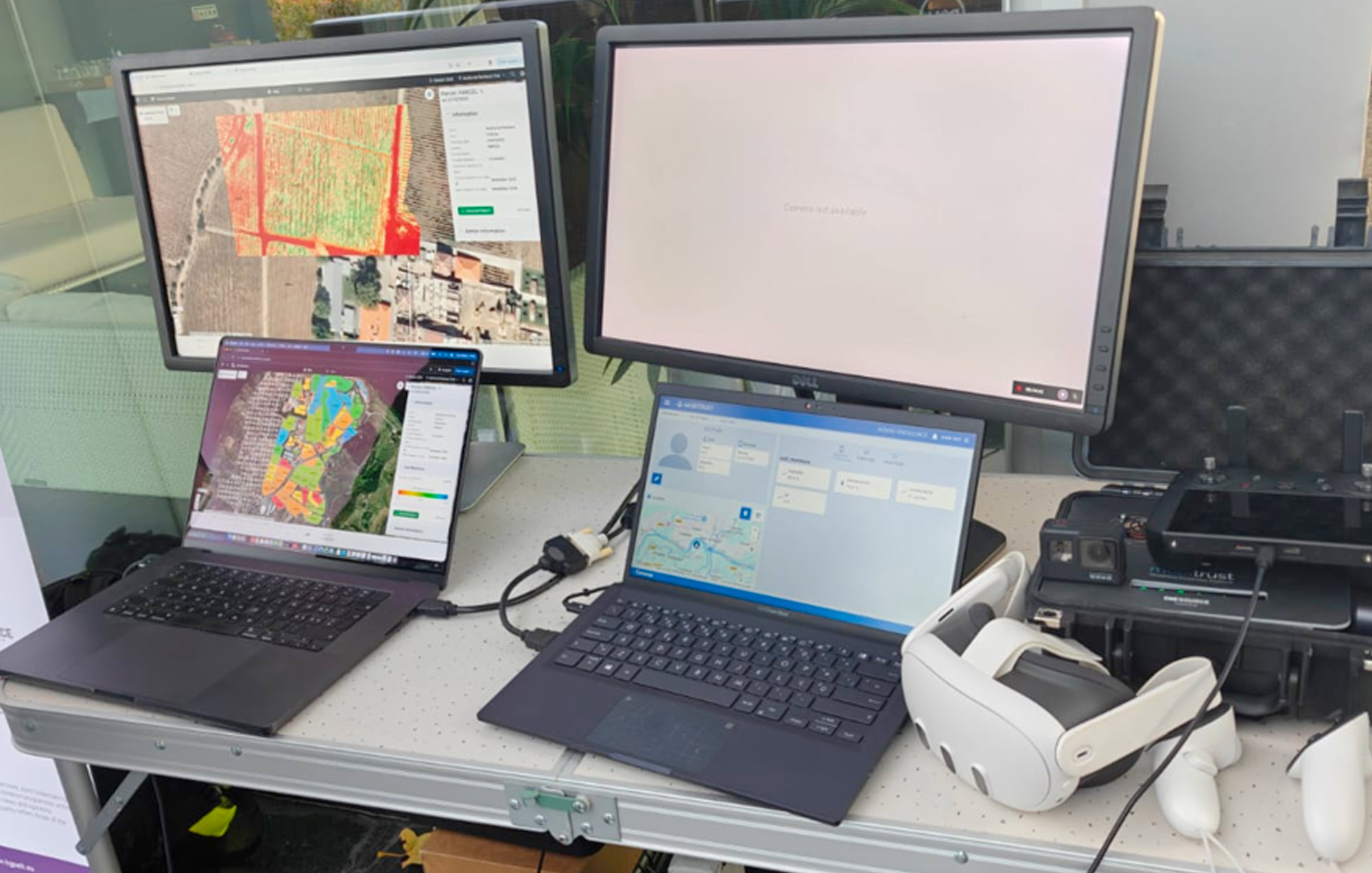
- Standardized Interoperability: This edge data was securely communicated to the cloud environment via FIWARE protocols, utilizing Kubernetes HELM deployment files to orchestrate the backend systems.
- Advanced Fusion Analytics: Once in the OneSource cloud environment, the data was processed through the sophisticated Aquaview data fusion algorithm. This generated highly detailed, estate-wide soil moisture maps.
- Real-Time Visualization: Attendees watched live as these analytical maps and drone-based crop health insights were seamlessly updated inside the intuitive Gamaya Viewer user interface.
Strong Endorsement and Measured Impact
To gather accurate validation metrics, the project collected 11 quantitative surveys and conducted 3 qualitative interviews with industry stakeholders during the event. The evaluation results surpassed initial targets:
- User Satisfaction: An overwhelming 90.9% of respondents rated the system’s interface as easy to understand and use.
- Virtual Probes Over Hardware: Traditional physical in-ground probes are notoriously high-maintenance and expensive. The trial successfully proved that a satellite-and-sensor-backed virtual modeling layer can replace multi-sensor hardware layouts. 81.8% of users stated they preferred this software approach over maintaining physical, in-ground equipment.
- Driving Sustainability: 100% of surveyed stakeholders agreed that COP-PILOT’s data-driven irrigation insights carry exceptional potential for saving natural water resources and promoting long-term sustainable farming.
- Operational Resilience: Practitioners and estate digital officers highlighted a major reduction in manual farm checkup man-hours by eliminating the need to physically audit ground soil properties every day.
Looking Ahead
While the technical teams noted valuable methodological lessons, such as automating the full end-to-end workflow to eliminate remaining manual data steps, this first pilot serves as concrete proof of COP-PILOT’s architectural capabilities. By translating multi-layered satellite, drone, and edge metrics into simple, actionable field insights, the project is paving the way for low-cost, zero-touch agriculture across Europe.